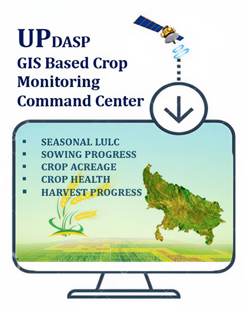
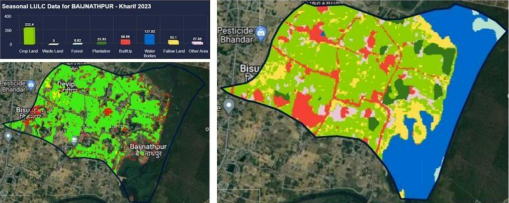
GIS Based Command Center
- Home
- GIS Based Command Center
OFFICIAL MILESTONE
Technology-Based Crop Monitoring Command Center
Inaugurated on 12 March 2024 by the Hon’ble Chief Minister of Uttar Pradesh. A central platform for data-driven decision-making, monitoring crop-related information at the Gram Panchayat level.
Coverage
75 Districts of UP
Granularity
Gram Panchayat Level
Our Vision & Mission
Enable data-driven decision-making, establish a digital infrastructure that enables near real-time crop acreage and yield estimation for agriculture, horticulture, and plantations.
Uttar Pradesh Diversified Agriculture Support Project (UPDASP)
The Government of Uttar Pradesh has initiated a Technology-Based Crop Acreage and Yield Estimation System under the Uttar Pradesh Diversified Agriculture Support Project (UPDASP) to improve the accuracy and reliability of agricultural data. The initiative uses satellite imagery, GIS technology, and advanced analytics to monitor crop acreage, crop health, and yield trends at the Gram Panchayat (GP) level across the state.
The project began with a pilot study in January 2023 to test the use of remote sensing and GIS for crop monitoring. Following the successful results of the pilot, a tender was issued in June 2023 and the work was awarded in September 2023 to four specialized agencies: Star Agri Bazaar Technology Pvt. Ltd., RMSI Pvt. Ltd., Leadsconnect Services Pvt. Ltd., and SatSure Analytics India Pvt. Ltd.
A satellite-based agricultural monitoring system and interactive digital dashboard have been developed to visualize crop information at State, District, Block, and Gram Panchayat levels. This platform enables government departments to monitor cropping patterns, assess crop conditions, and support timely policy decisions.
Overall, the initiative strengthens data-driven agricultural planning and monitoring in Uttar Pradesh, improving the accuracy of crop estimates and enabling better support for farmers and agricultural development programs.
Remote Sensing Based Agriculture Monitoring
LULC
LULC stands for Land Use and Land Cover. It refers to the categorization and analysis of the different types of land uses and covers in a particular geographic area.
CROP ACREAGE
The Crop Acreage Report represents the quantitative measurement of the total land area under cultivation for specific crops, providing essential data on the extent of agricultural activity in a given region or during a specified season.
SOWING PROGRESS
Sowing progress signifies the portion of the total cultivable area that has sown with crops. The total geographical area encompasses both cultivable and non-cultivable areas.
CROP HEALTH
A Crop Health provides an assessment of the condition of crops in a given area, offering insights into their overall well-being. It serves as an indicator of the total sown area's health, categorizing it as good, average, or poor based on various factors.
HARVEST PROGRESS
The Harvest Progress provides a comprehensive overview of the current status of each crop, detailing the average in both standing and harvested states.
Project & key Milestones
A Journey from pilot to full-scale command center operations.
The project began with a pilot study in January 2023 to test the use of remote sensing and GIS for crop monitoring. Following the successful results of the pilot, a tender was issued in June 2023 and the work was awarded in September 2023 to four specialized agencies: Star Agri Bazaar Technology Pvt. Ltd., RMSI Pvt. Ltd., Leadsconnect Services Pvt. Ltd., and SatSure Analytics India Pvt. Ltd.
A key milestone of the initiative was the establishment of the Technology-Based Crop Monitoring Command Center, inaugurated on 12 March 2024 by the Hon’ble Chief Minister of Uttar Pradesh. The command center serves as the central platform for monitoring crop-related information and supporting data-driven decision-making in agriculture.
Crop Classification System🌾
- Kharif: Paddy, Maize, Jowar, Bajra, Groundnut, Soyabean, Sugarcane, Arhar, Urd
- Rabi: Wheat, Gram, Pea, Lentil, Mustard, Potato, Onion
- Zaid: Moong, Urad, Mentha, Maize
- Horticulture: Mango, Guava, Banana, Papaya 🌱
GIS Based Command Center
CROP ACREAGE STATE
CROP ACREAGE DISTRICT
CROP ACREAGE BLOCK
CROP ACREAGE GP